Boston’s flood zone grows, adding insurance costs for thousands

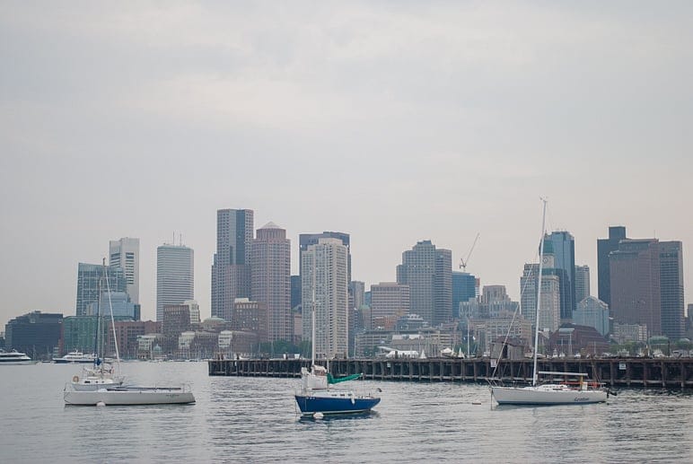
BOSTON – New flood-zone maps put out by the Federal Emergency Management Agency expand the boundaries of parts of Boston at risk of being inundated and that may require thousands of property owners to buy flood insurance for the first time.
The new maps reassess the risk of flooding in coastal areas of Boston, Chelsea, Revere and Winthrop during the most severe storms, or those that are likely to occur only once in a century. According to Boston City Hall, more than 1,000 city acres with more than 9,300 residential units and over 2,400 businesses have been added to at-risk zones in the city alone. The maps become effective March 16.

